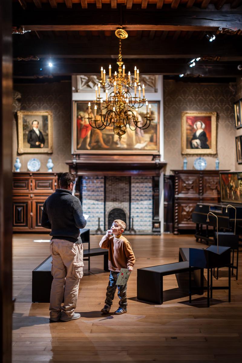
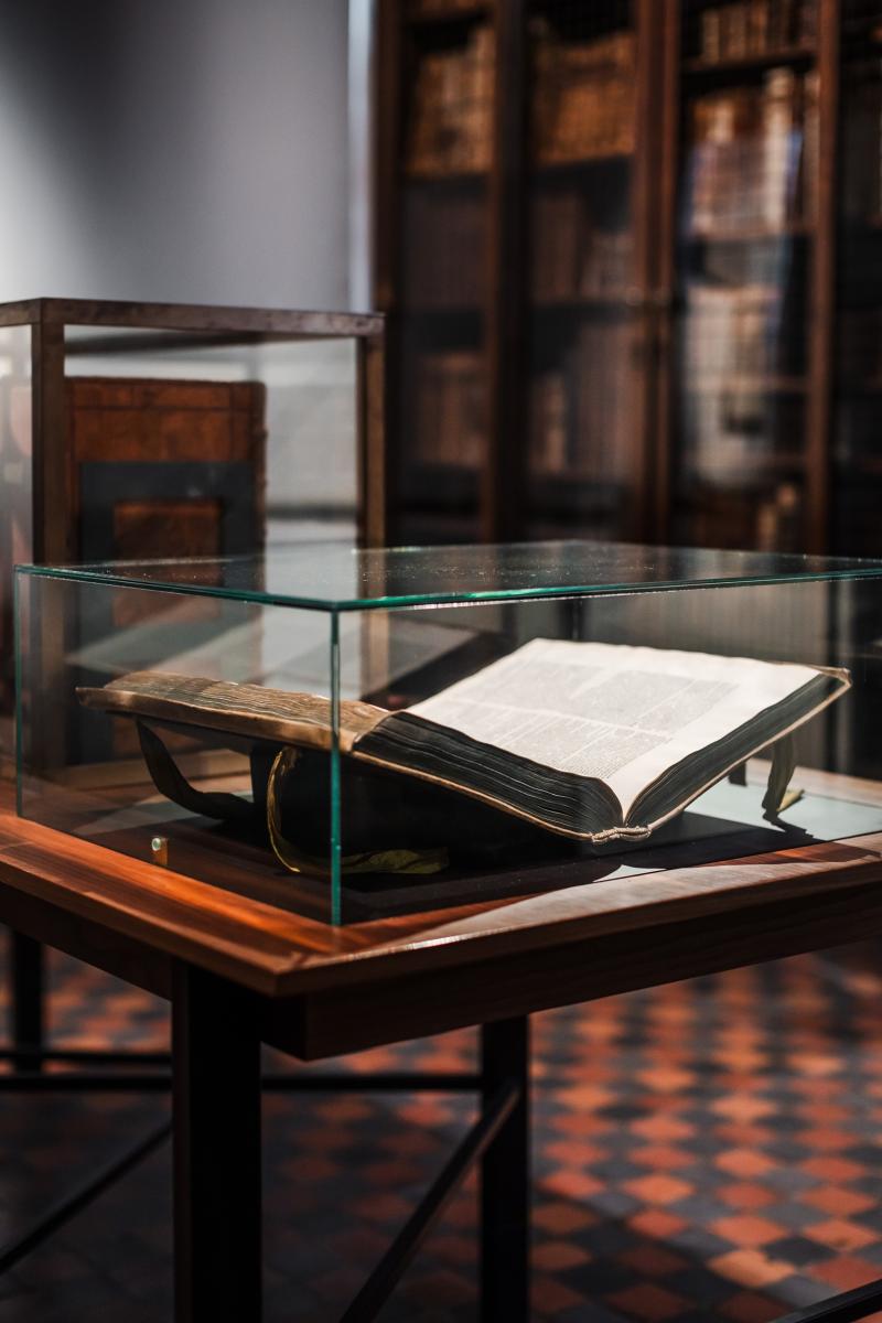
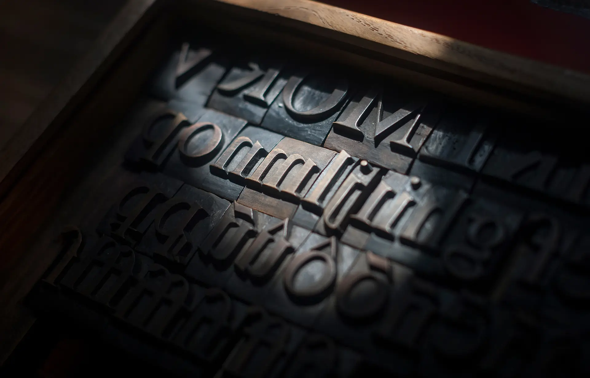
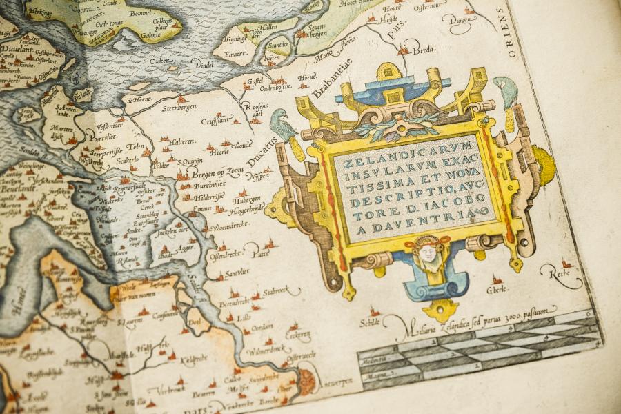
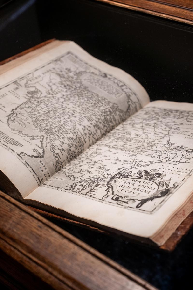
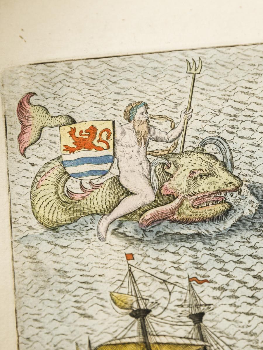
• Home
  • The first atlas - Abraham Ortelius

The first atlas - Abraham Ortelius

The Theatrum Orbis Terrarum is the world’s very first atlas. Antwerp native Abraham Ortelius created this masterpiece using the finest sea and land maps. The first edition of this pioneering atlas was published in 1570.

The first atlas - Abraham Ortelius

Theatrum of the World

Antwerp native Abraham Ortelius (1527–1598) collected the finest sea and land maps of his time. From them, he created the very first atlas in history: the Theatrum Orbis Terrarum — “Theatrum of the World.” Gillis I Coppens of Diest printed the texts of the first editions of this atlas in 1570. From 1579 onwards, the atlas was printed by Plantin, with Ortelius continuing as its publisher.


Abraham Ortelius, 'Theatrum Orbis Terrarum' (Antwerpen: Christoffel Plantijn, 1588), Museum Plantin-Moretus, Antwerpen.

Great success

The Theatrum Orbis Terrarum was compiled from maps by different cartographers, each using a different scale. Ortelius came up with the idea of having these sea and land maps engraved in a uniform format, bringing them together in a single volume. The atlas was a world first and a major success: between 1570 and 1612, it went through 42 editions.

'You deserve to be praised because you selected the best description from each region and collected it in one book. The book is not expensive and we can take it wherever we go.'

Mercator to Ortelius