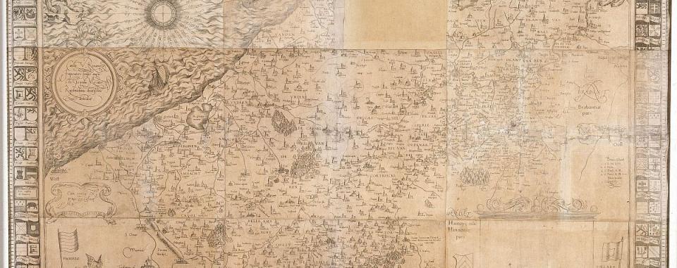
Accurate map of Flanders, 1540
With his map Vlaenderen. Exactissima Flandriae descriptio, Gerard Mercator provided a surprisingly accurate representation of the old county of Flanders in around 1540.
It is a wall chart measuring 96 by 125 cm, compiled from nine copper engravings. The copy belonging to the Museum Plantin-Moretus is the only surviving one.
Cartographic centre
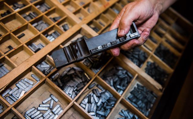
In Christophe Plantin’s day, Antwerp was the foremost production centre for cartographic work. Plantin’s business played a leading role in this area. For instance, the work of the great Abraham Ortelius (1527-1598 ) was printed here from 1579 onwards.
Buyer and seller
An older Southern Netherlandish contemporary of Ortelius was Gerard De Cremer from Rupelmonde (1512-1594), who latinised his surname as Mercator (both the Dutch and the Latin mean ‘merchant’). After the Greek Ptolemy, Mercator is the most important figure in the history of cartography. He succeeded in showing the world comprehensibly on a map. His Mercator projection is still used today.
The relationship between Mercator and Plantin was one of buyer and seller: Plantin sold the famous Mercator maps, globes and instruments, and Mercator bought books for his private library from Plantin.
Detailed map of Flanders
This is the first map of the county of Flanders by Mercator. It gives a surprisingly accurate picture of the county of Flanders, including northern France and Zeelandic Flanders. It is a unique, unfinished copy – a copper engraving.
The map is dedicated to the Spanish Emperor Charles. Half a century later, Mercator published his principal work, the Atlas, in Germany. As a supporter of Martin Luther’s Reformation he had sought refuge there.